How do hazard maps, tools for defining and governing risk, inscribe themselves into the physical world they depict as well as the consciousness of the people inhabiting it?
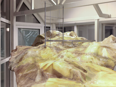
Considering maps as castings of the territories they depict, traces of their casting molds can be deduced, which hint at deliberate design decisions and embedded power relations, emphasizing or precluding certain aspects. Directly consulting the mapped terrain may then reveal otherwise uncharted hazards at the intersection of local livelihoods and the global chains of extraction, production and distribution.
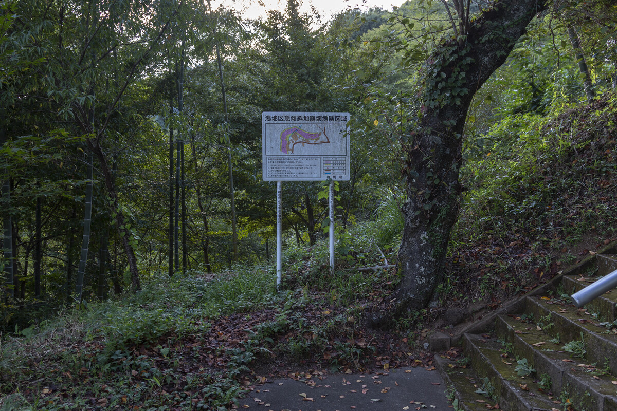
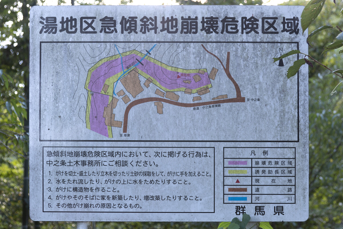
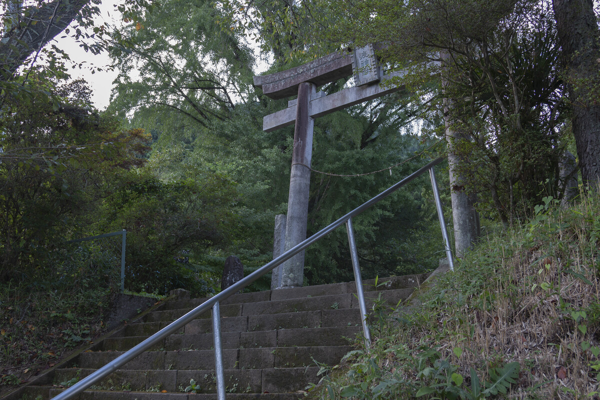
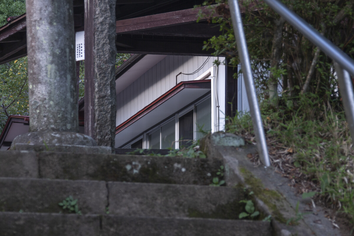
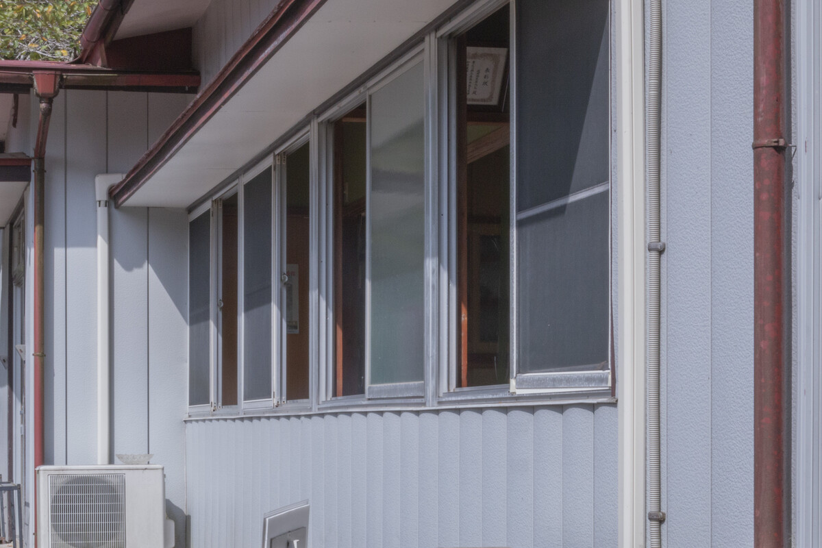
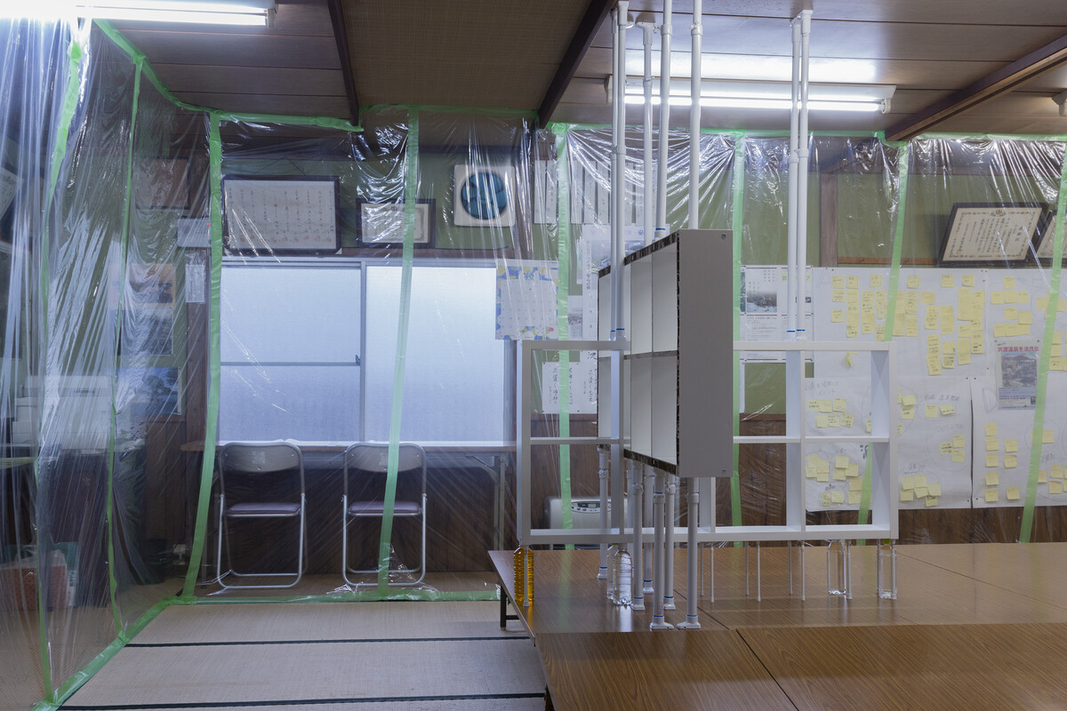
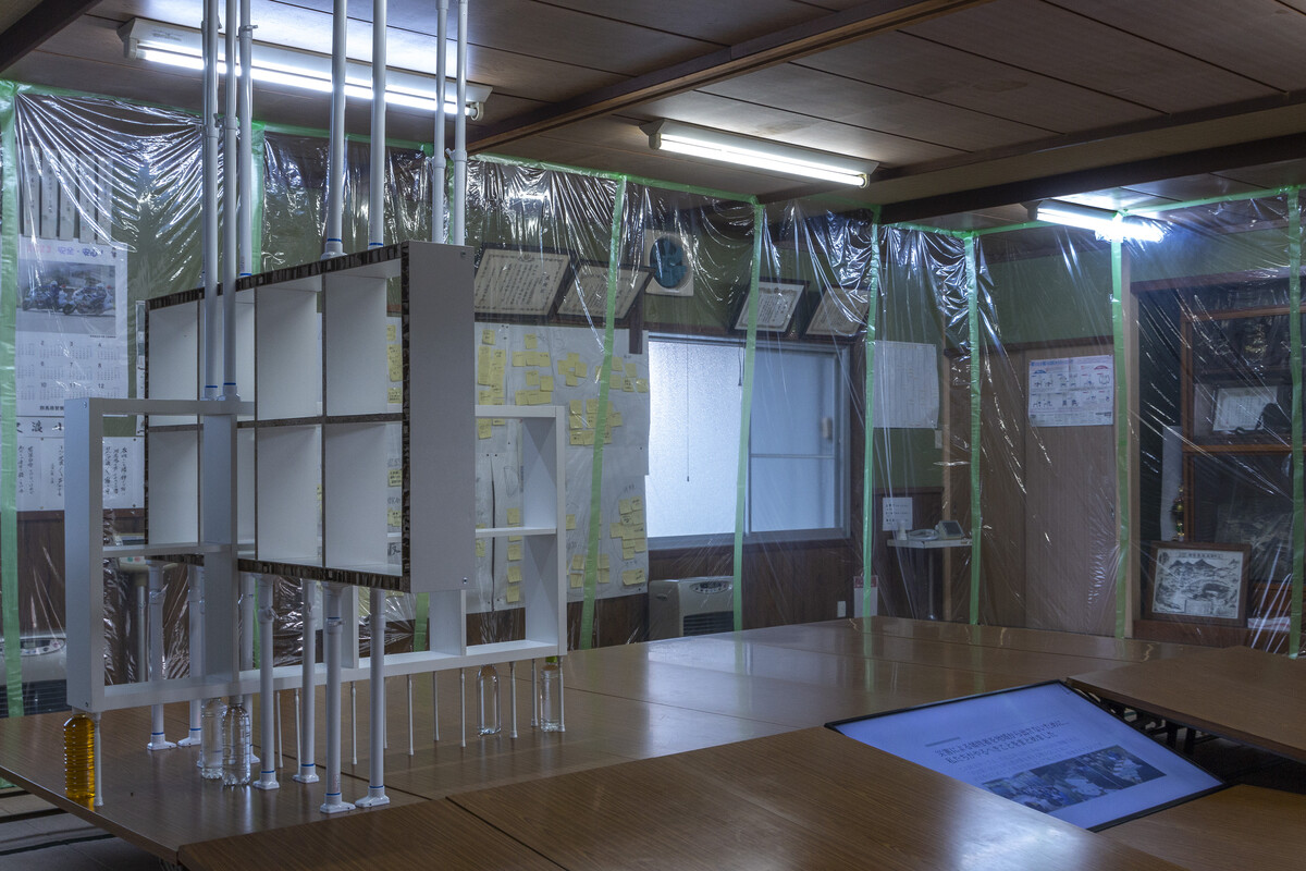
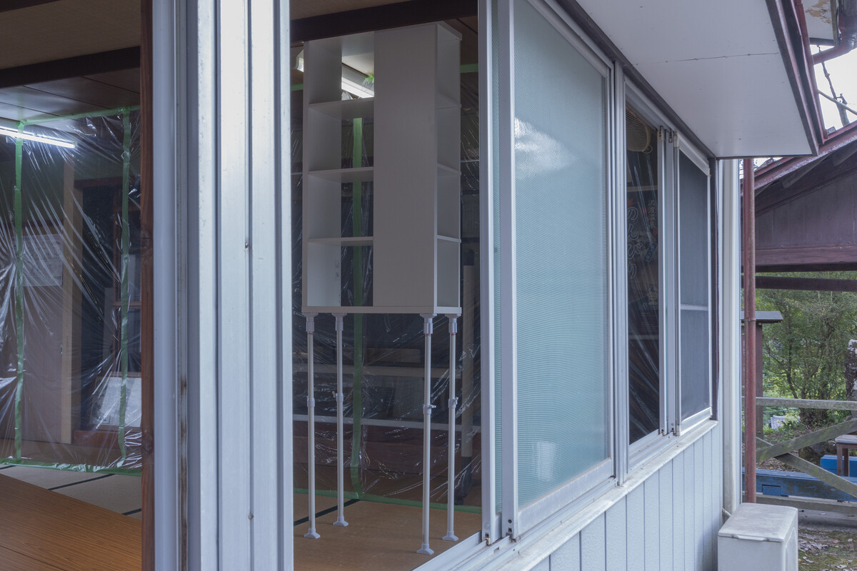
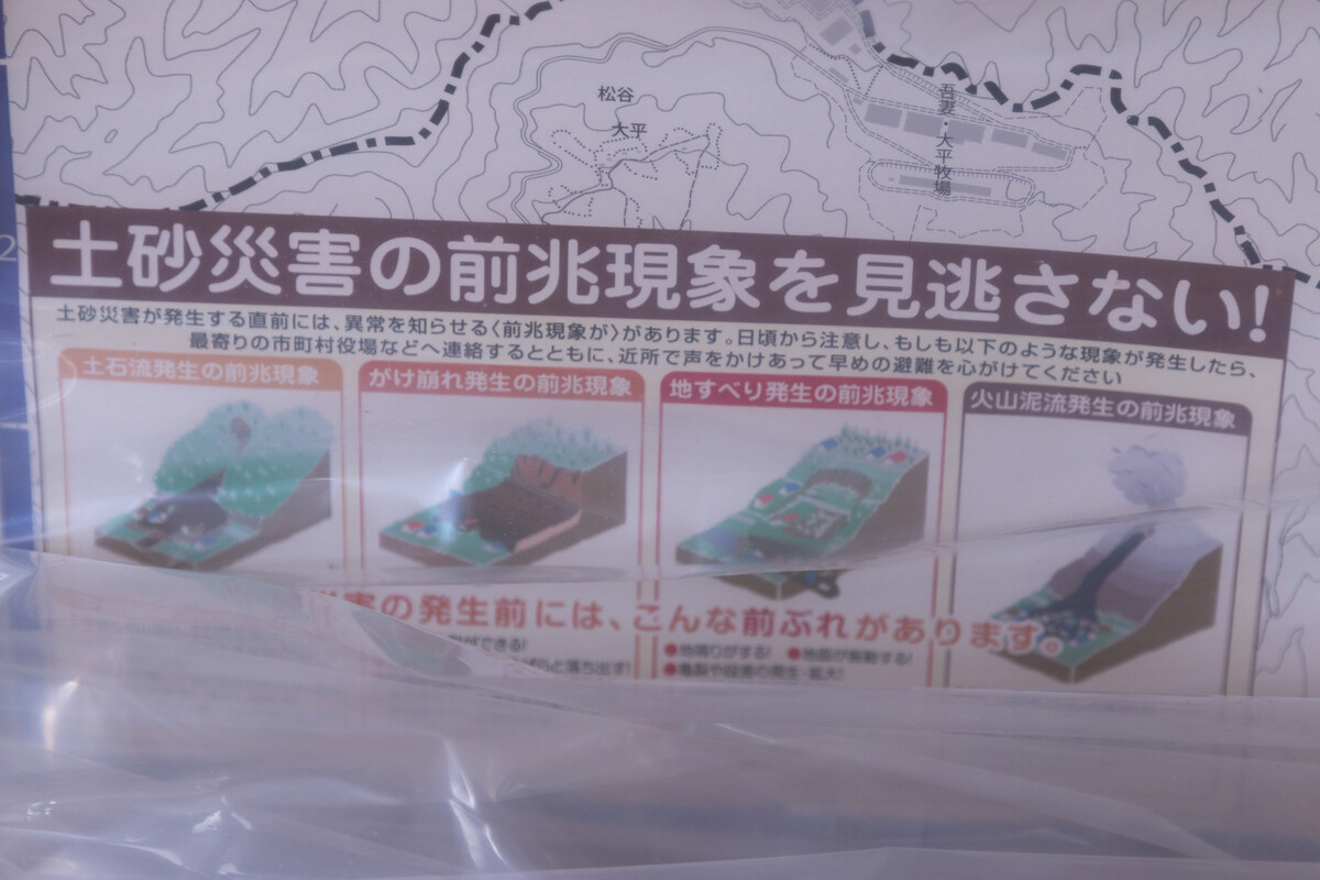
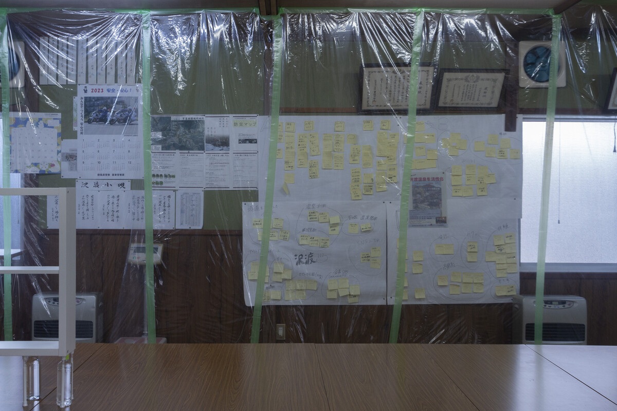
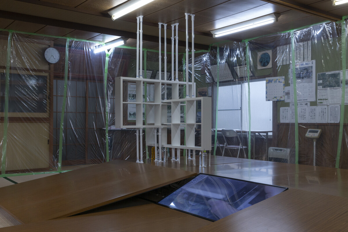
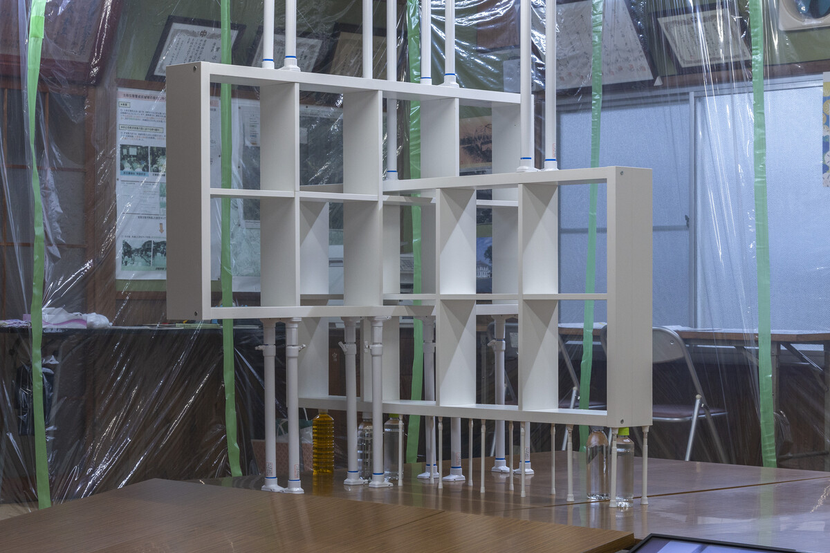
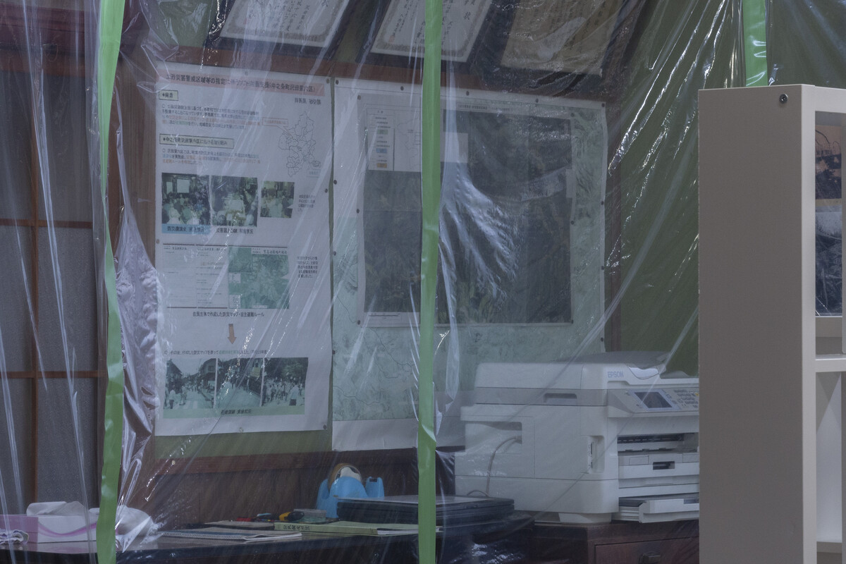
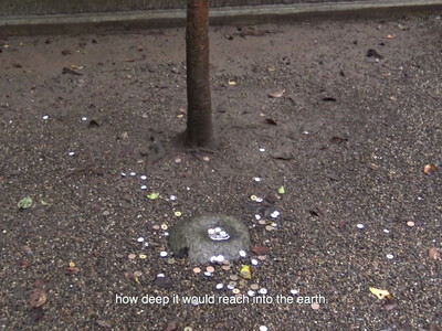
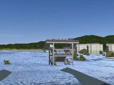
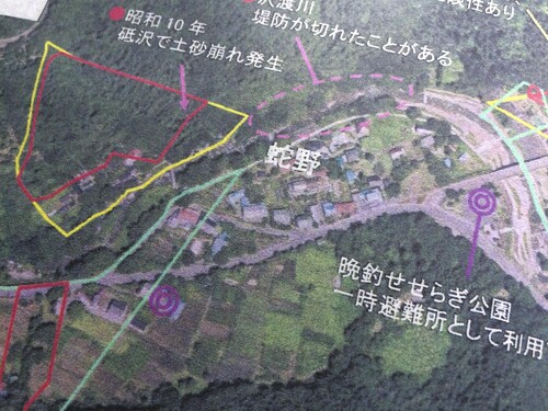
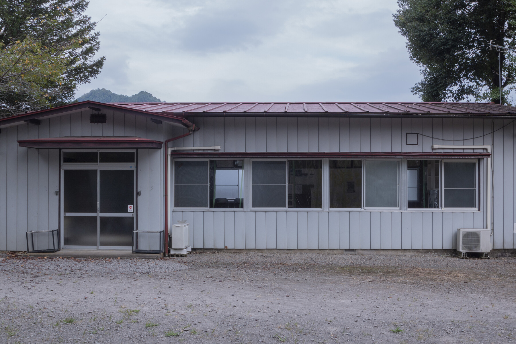
The Sawatari Onsen Community Center is located on the premises of Sawatari Shrine. Besides community activities, it is used as an assembly point in case of emergency. Due to its location on a steep slope, leading to a narrow river valley, the village of Sawatari Onsen has a history of weather-related calamities, of which the most devastating was probably the 1935 flood and mudflow, caused by typhoon-induced torrential rains.
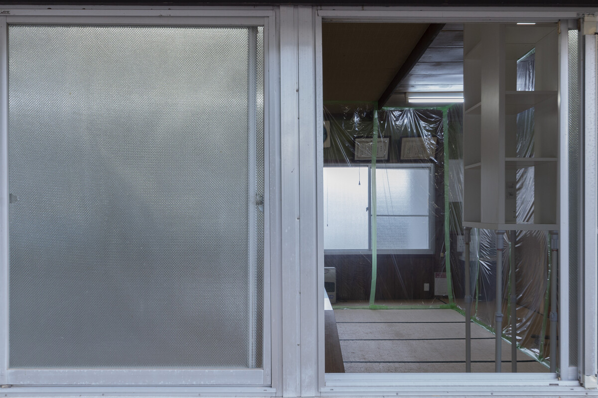
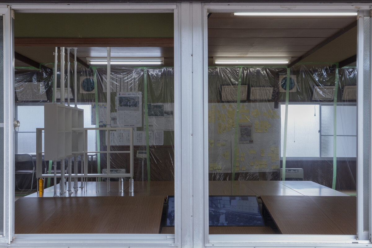
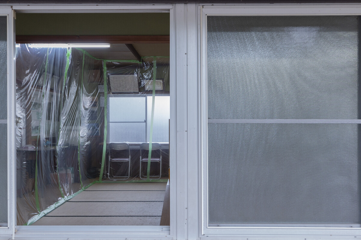
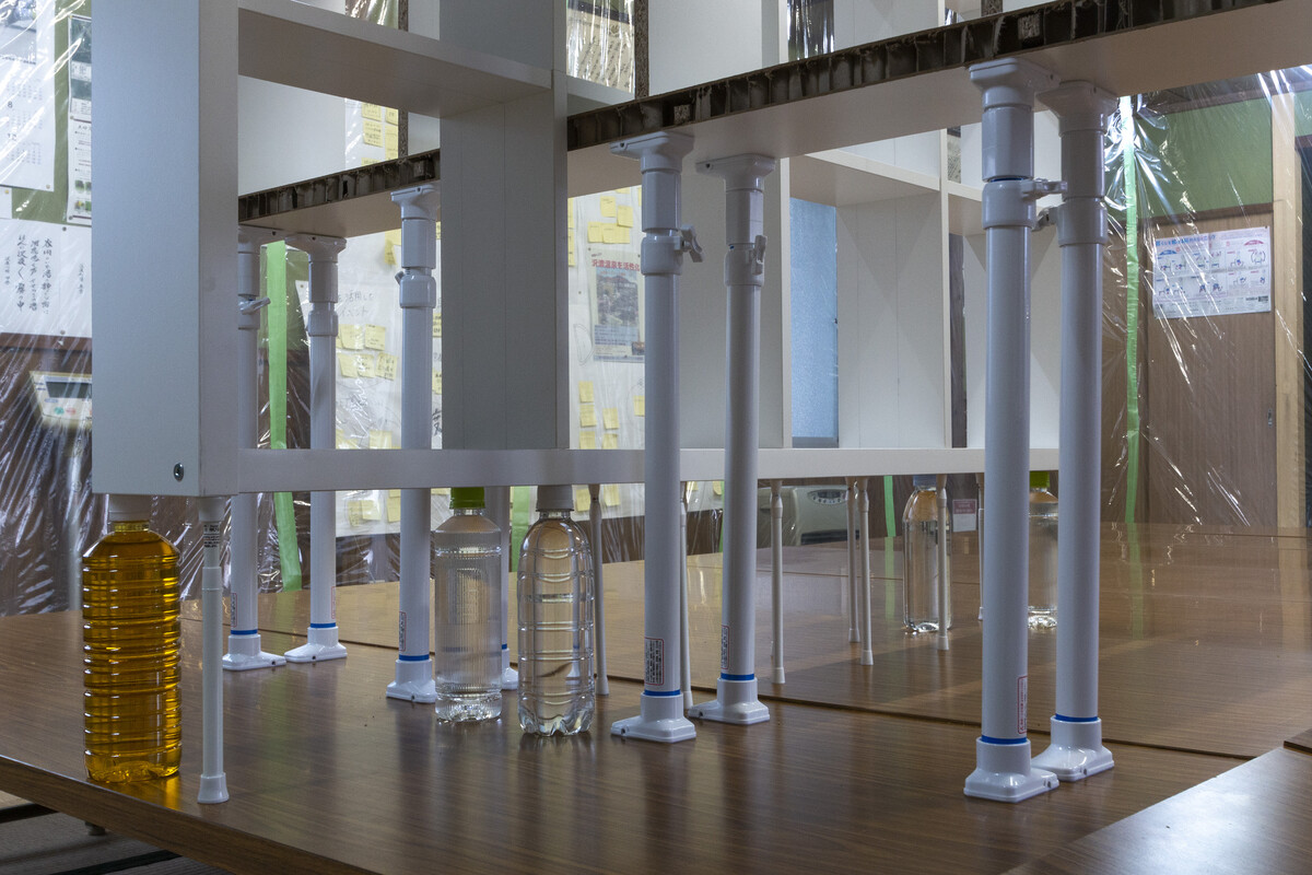
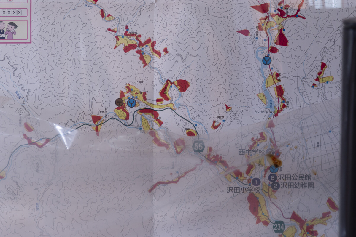
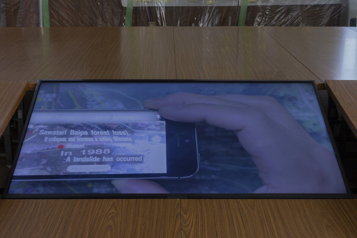
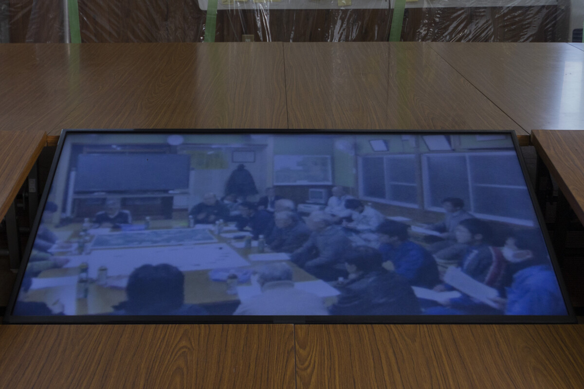
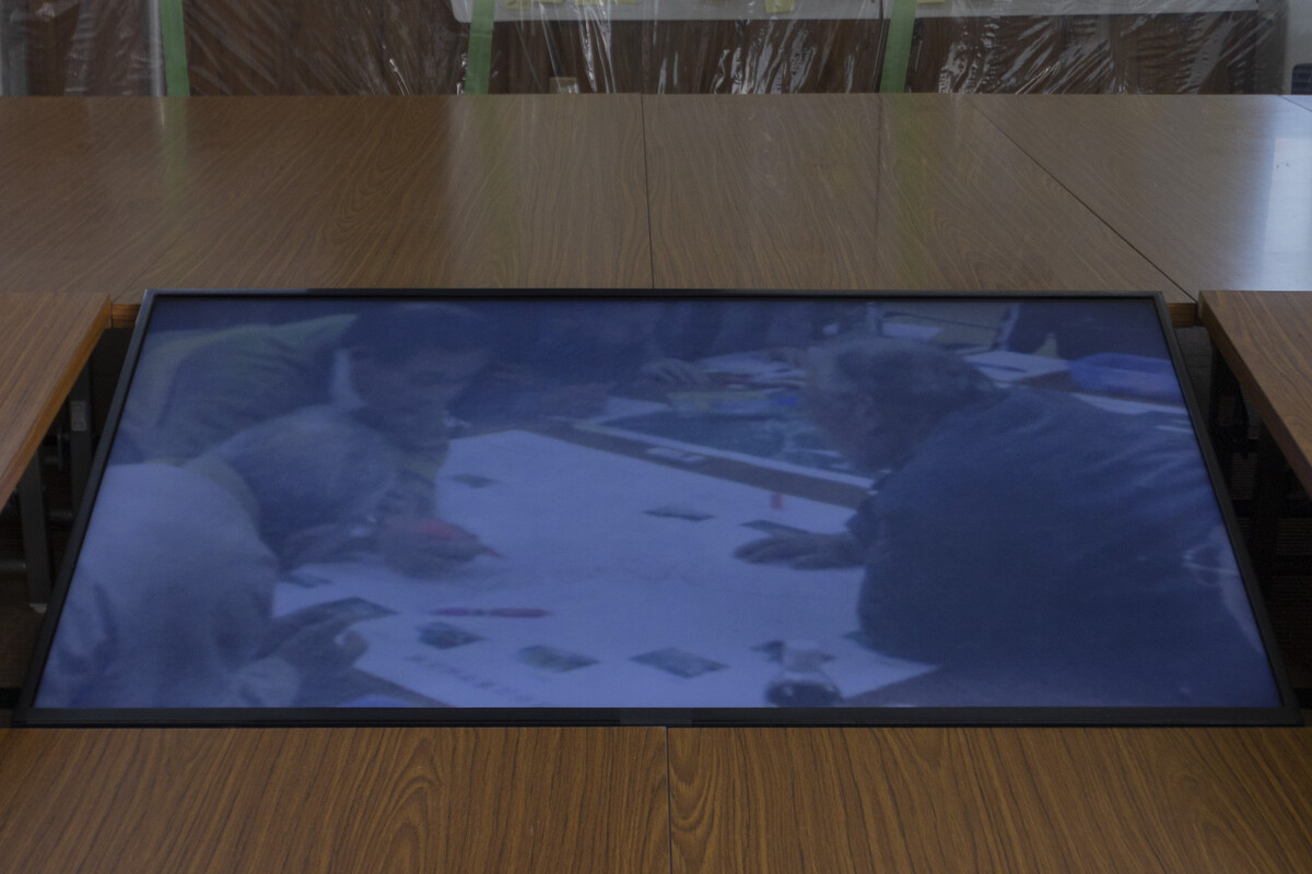
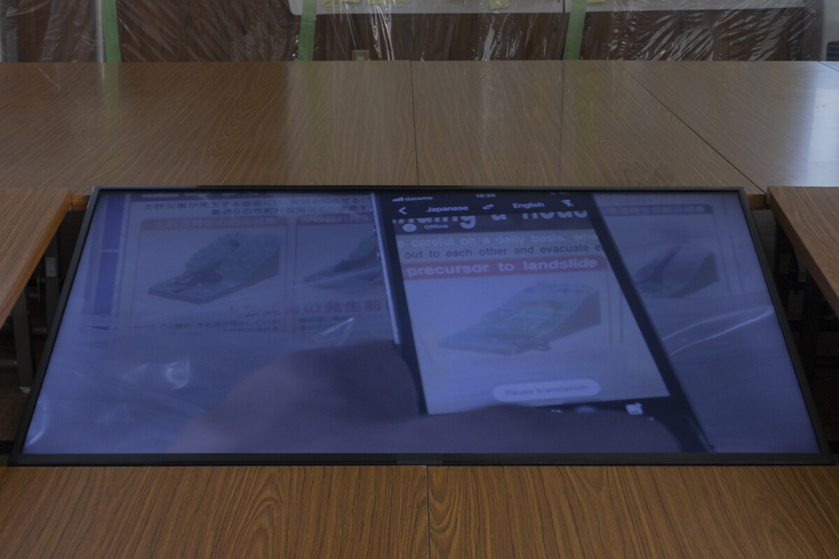
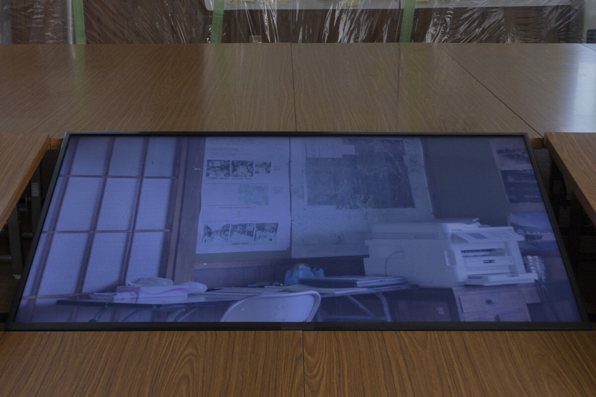
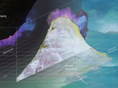
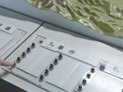
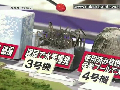
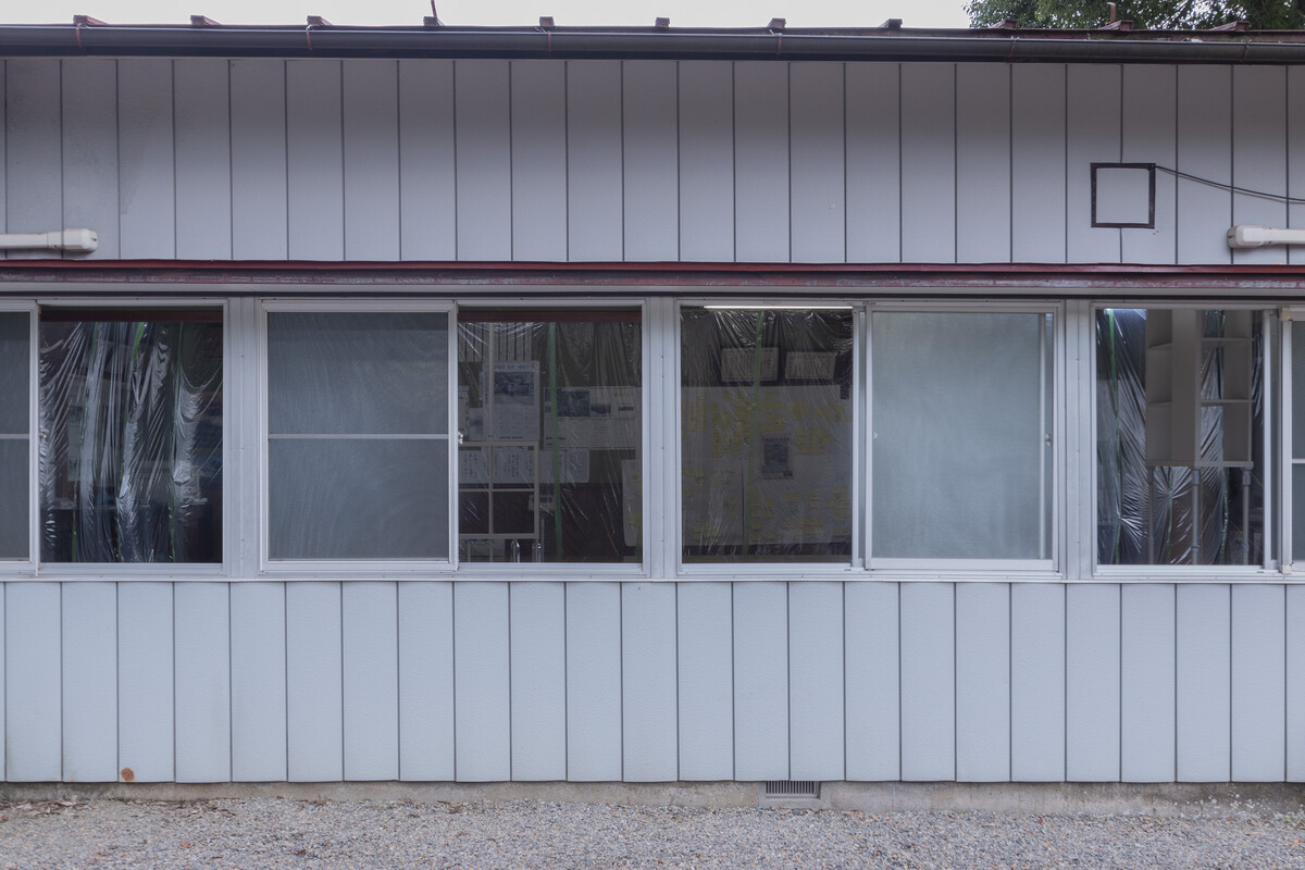
The installation attempts to grasp different, partially conflicting perspectives on and sensitivities towards these location-specific risks. Historical damage maps of the flood of 1935 are juxtaposed with hazard maps of the area, assembled by different stakeholders, the municipality and insurance companies. An elaborate map compiled by the locals in a series of workshops that were held in the same location, gathers detailed information on site-specific hazards, based on their and their ancestor’s experiences.
不確実性の余白を辿る
ハザードマップは、リスクを定義し、管理するための道具である。
それは地図に描かれた実際の場所と、その地域に住む人々の意識にどのような影響を与えているのだろうか。
地図とは、そこに描かれたテリトリーの鋳型だと考えると、その鋳型の痕跡が推測できる。それは意図的な政策の決定や、組み込まれた権力関係を示唆させ、特定の側面を強調したり、排除することもあるだろう。地図に描かれた地形を直接観察し、世界的な採掘、生産、流通の連鎖と、地域の生活とが交差する点を知ることで、未知の危険性が見えてくるかもしれない。